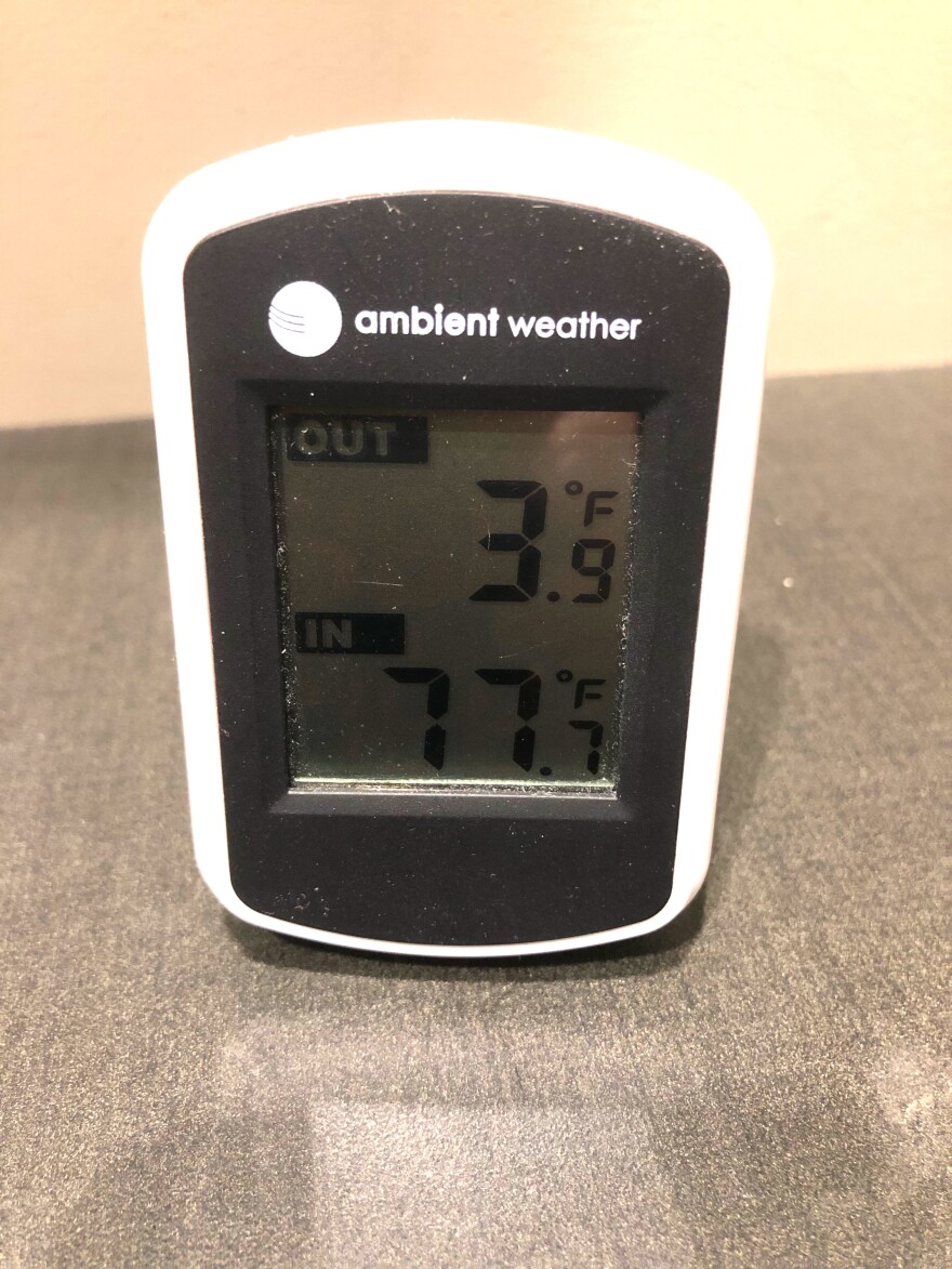
Some drastic changes are coming to Inland Northwest weather as the weekend approaches.
National Weather Service meteorologist Greg Koch says warmer air from the south will bring significant moisture this weekend and early next week.
“That first round of precipitation that’s going to come Friday into Friday night is going to be all snow for the entire region," he said. "It looks like a mainly light snow amount with a couple of inches of snow across central Washington, northeast Washington and into far north Idaho. The areas that will likely receive more snowfall are in the Cascades, where we can get 8-12 inches of snow in a 24-hour period around Stevens Pass.”
Koch says the mountains of north Idaho are also expected to receive several inches. He says the story will be similar with the precipitation on Christmas Eve and Christmas Day.
“The area that does look like it will have the most significant snowfall over the weekend, Saturday into Sunday, will be our Cascades. Travel across the Cascade passes may be impacted. This would be an important thing for travelers to monitor the pass conditions to see whether they’re open during the holiday travel period," Koch said.
As temperatures rise above the freezing mark across the region over the weekend, some of the precipitation, especially in central Washington, will turn to rain and freezing rain.
Temperatures will continue to warm as the work week opens, with many cities recording highs in the 40s on Monday and Tuesday.
Koch says forecasters project minor flooding in southeastern Washington and the central Idaho panhandle next week. Paradise Creek in Moscow is projected to move slightly above its minor flood stage. Others that could see higher-than-normal streamflows include Latah, Rock, Asotin, Lawyer and Lapwai creeks.
Even though snow levels will fall as the weather warms, Koch says the region's higher elevations will continue to add to their snowpack. Forecasters say Stevens Pass could receive 18-24" of snow. The Methow Valley is projected for 8-12" and Republic 6-8". Less is expected for Snoqualmie Pass, 4-6". The Columbia Basin and Spokane-Coeur d'Alene area are expected to be spared.


