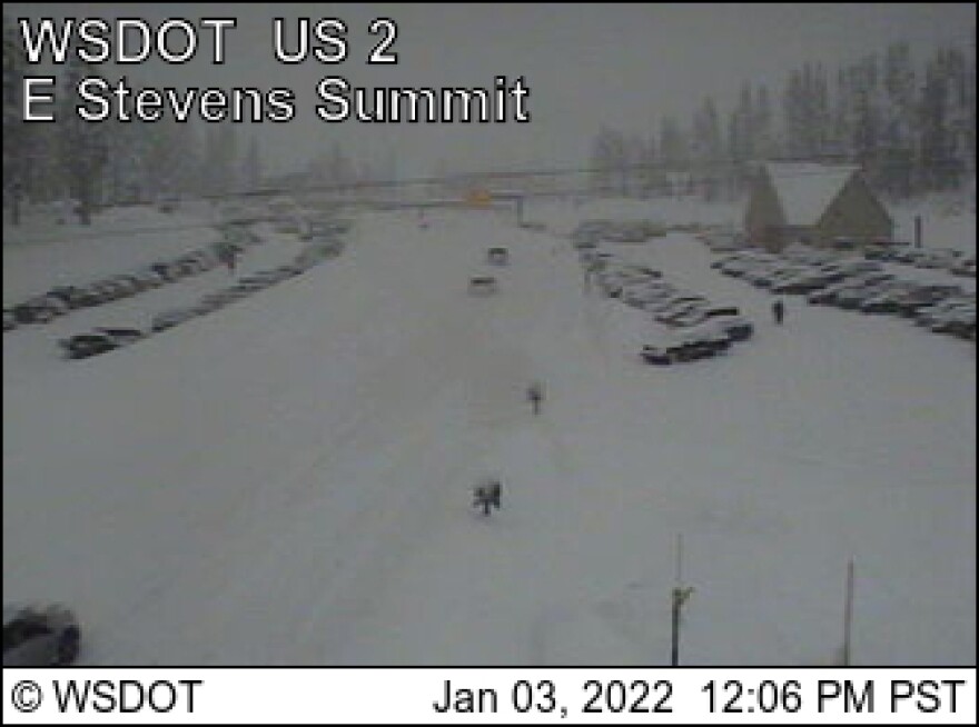
UPDATE: 12:10 pm: Stevens Pass has been reopened with chains required on all except all-wheel drive vehicles.
Snoqualmie and White passes will remain closed all day Monday. Department of Transportation officials will reassess the situation in both places at 5 pm and decide whether either or both are safe to reopen.
Another round of snow has begun to fall on the Northwest. The higher elevation areas are expected to be hit the hardest. The National Weather Service predicts the Washington Cascades and northern tier of the state can expect to receive between eight and 12 inches.
Snoqualmie and White passes were closed early Monday morning with near zero visibility because of blowing and drifting snow.
The lower elevation areas immediately to the east, including Wenatchee and Yakima, will receive four to six inches. The Columbia Basin, including Moses Lake and Ritzville, will get one to three inches. Spokane is forecast for three to four inches. The Palouse, which was hit hard last week, will be spared the worst of it today, only one to two inches. In north Idaho, Sandpoint and Bonners Ferry will be hit hardest, eight to 12 inches. Coeur d’Alene and the Silver Valley will get three to four, with lesser amounts as you move south. In southeastern Washington and the Idaho Palouse, not much accumulation.
Gusty winds are expected to accompany the snow, causing blizzard and difficult driving conditions. Forecasters say winds will come from the south at 15-25 miles an hour, with gusts up to 60 mph in the Blue Mountains and on Idaho’s Camas Prairie.
Temperatures will be more seasonal for Monday and Tuesday, in the upper 20s to mid 30s. Wednesday will be drier and cooler, temperatures dropping 5-10 degrees. The snow will return on Thursday and Friday with temperatures rebounding back into the 30s.

